Images such as those in Google Street View are taking on a new purpose in the hands of University of Florida Assistant Professor of Artificial Intelligence Chaofeng Wang.
He’s using them, along with deep learning, in a research project to automate the evaluation of urban buildings. The project aims to help governments mitigate natural disaster damage by providing the information needed for decision-makers to bolster building structures or perform post-disaster recovery.
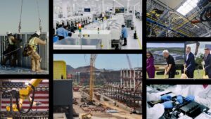
After a natural disaster such as an earthquake, local governments send teams to check and evaluate building conditions. Manually done, it can take up to months to go through the full stock of a city.
Wang’s project uses AI to accelerate the evaluation process — cutting the time needed to a few hours. The AI model is trained using images sourced from Google Street View and local governments to assign scores to buildings based on Federal Emergency Management Agency (FEMA) P-154 standards, which provide assessment guidelines based on factors like wall material, structure type, building age and more. Wang also collaborated with the World Bank Global Program for Resilient Housing to collect images and perform annotations, which were used to improve the model.
The collected images are placed in a data repository. The AI model reads the repository and performs inference on the images — a process accelerated by NVIDIA DGX A100 systems.
“Without NVIDIA GPUs, we wouldn’t have been able to do this,” Wang said. “They significantly accelerate the process, ensuring timely results.”
Wang used the DGX A100 nodes in the University of Florida’s supercomputer, HiPerGator. HiPerGator is one of the world’s fastest AI supercomputers in academia, delivering 700 petaflops of AI performance, and was built with the support of NVIDIA founder and UF alumnus Chris Malachowsky and hardware, software, training and services from NVIDIA.
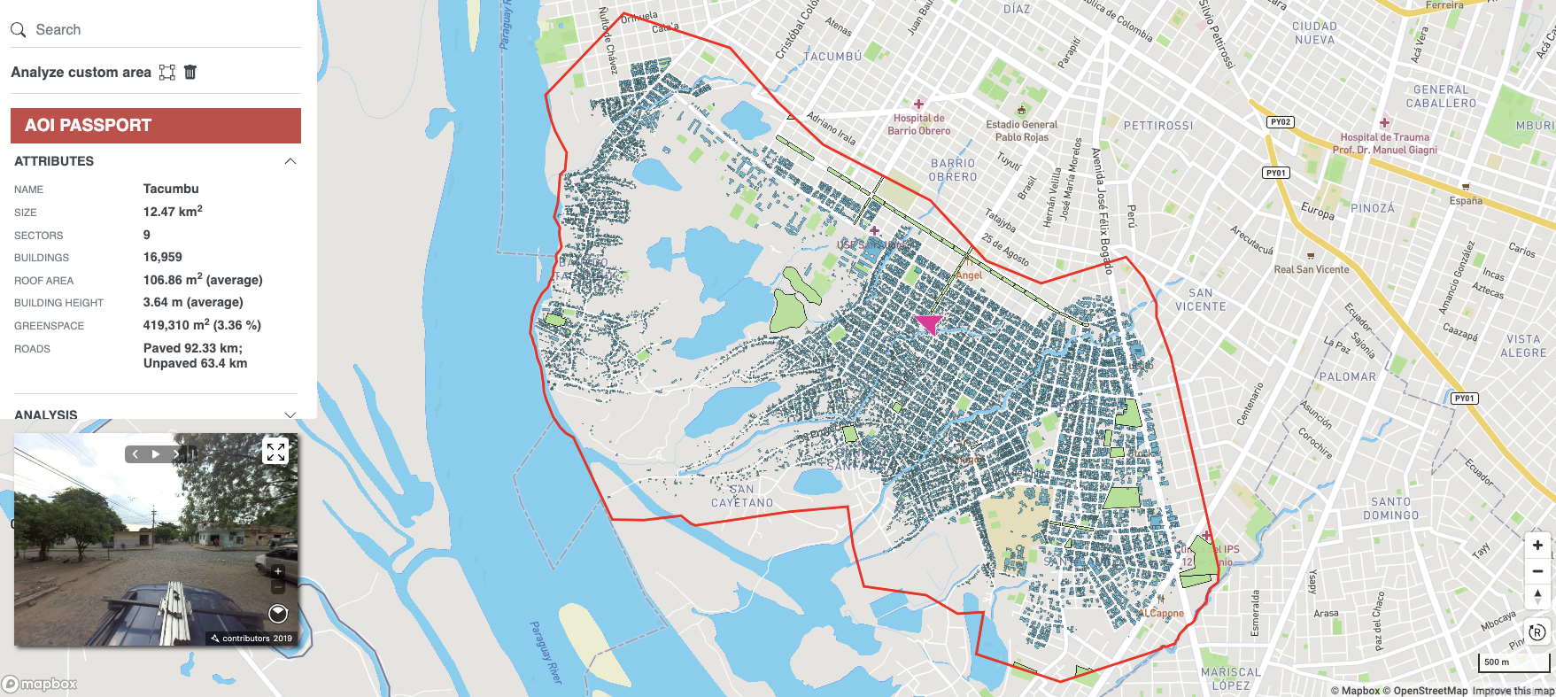
The AI model’s output is compiled into a database that feeds into a web portal, which shows information — including the safety assessment score, building type and even roof or wall material — in a map-based format.
Wang’s work was funded by the NVIDIA Applied Research Accelerator Program, which supports research projects that have the potential to make a real-world impact through the deployment of NVIDIA-accelerated applications adopted by commercial and government organizations.
A Helping Eye
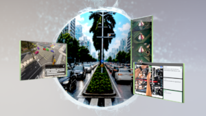
Wang says that the portal can serve different needs depending on the use case. To prepare for a natural disaster, a government can use predictions solely from street view images.
“Those are static images — one example is Google Street View images, which get updated every several years,” he said. “But that’s good enough for collecting information and getting a general understanding about certain statistics.”
But for rural areas or developing regions, where such images aren’t available or not frequently updated, governments can collect the images themselves. Powered by NVIDIA GPUs, the timely delivery of building assessments can help accelerate analyses.
Wang also suggests that with enough refinement, his research could also create ripples for the urban planning and insurance industries.
The project is currently being tested by a few local governments in Mexico and is garnering interest in some African, Asian and South American countries. At its current state, it can achieve over 85% accuracy in its assessment scores, per FEMA P-154 standards.
Survey of the Land
One challenge Wang cites is the variation in urban landscapes in different countries. Different regions have their own cultural and architectural styles. Not trained on a large or diverse enough pool of images, the AI model could be thrown off by factors like paint color when performing wall material analysis. Another challenge is urban density variation.
“It is a very general limitation of current AI technology,” Wang said. “In order to be useful, it requires enough training data to represent the distribution of the real world, so we’re putting efforts into the data collection process to solve the generalization issue.”
To overcome this challenge, Wang aims to train and test the model for more cities. So far, he’s tested about eight cities in different countries.
“We need to generate more detailed and high-quality annotations to train the model with,” he said. “That is the way we can improve the model in the future so that it can be used more widely.”
Wang’s goal is to get the project to a point where it can be deployed as a service for more general industry use.
“We are creating application programming interfaces that can estimate and analyze buildings and households to allow seamless integration with other products,” he said. “We are also building a user-friendly application that all government agencies and organizations can use.”